
Cuts Like A Knife
Great American Rail Trail - East of Smyrna, Washington
With the Beverly Bridge opening date still in limbo, we rejoined the Great American Rail Trail just east of the hamlet of Smyrna. The day was supposed to be mostly cloudy and the trail would be a mix of old railbed and then transition to a gravel road as a portion of the original railbed was still being used by the railroad. Overall, it looked like a fairly easy day was in store.
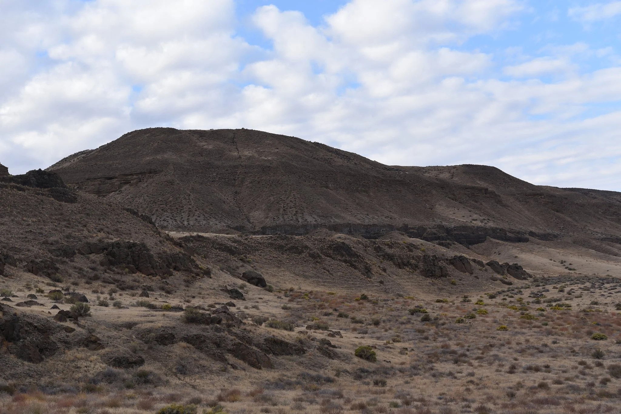
The trail section was fairly overgrown and a bit soft, so I got sweaty in a hurry. Since it was still early in the day and we were in the middle of nowhere, I let the dogs out of the trailer to let them get a nice walk in and to make things a little easier for myself which let me relax a bit and appreciate the spectacular scenery of the Saddle Mountains to the south and the unknown (to me) cliffs and hills to the north. It looked like the further east we went, the closer the mountains and hills got together, squeezing the Lower Crab Creek Valley in the process. It was a really special spot for sure.
(click photos to enlarge and see descriptions)


As we rolled on, signs of irresponsible trail users became more and more apparent. My least favorite being a bunch of broken clay pigeons and numerous spent shotgun shells. It’s one thing to go shooting, but to do it right on the trail itself is just lazy and dangerous. As luck would have it though, we were alone again with no sign of the shooters around other than a short distance later when I came upon a pocket knife that had been dropped. It must had been fairly recent too as there was hardly any rust on the blade. I picked it up figuring I’d find a use for it some day; besides, I love orange so it was right up my alley.
When we neared the end of the trail segment for the day and were about to do the bulk of our miles on the road, the conditions got absolutely abysmal. I laughed when I realized that there were tumbleweeds stuck in both wheels of the bike trailer. But that wasn’t the hard part. The last 75 yards or so were just flat out terrible. The “trail” was on a steep incline, more suitable to hiking, and was covered with rocks and boulders of various sizes. It was so bad, I had to take the trailer off of the bike and carry it over this stretch while the dogs ran loose. The picture doesn’t do it justice, but this was easily the worst bit of trail we’d seen between here and the Pacific Ocean, several hundred miles away.


Back on the road, I reassembled the bike and trailer, got the dogs situated, and started taking advantage of the smooth pavement that lie before us. If memory serves, the last pavement we had ridden, other than to cross over a bisecting road, was back in Ellensburg some 50 miles away. The pavement only lasted a mile or two, but it was still a nice change of pace. It was fairly deserted too and we had the road to ourselves, minus a poor, dead hawk that had managed to get hit. Such a waste.
The scenery kept getting prettier and prettier. Normally, I’ll take a natural landscape over a human influenced one any day, but an unexpected cornfield reminded me of growing up in Illinois. What really set the corn apart though was that it was surrounded by cliffs to both the north and south. With Illinois being the second flattest state in the US (Florida being first), a cornfield surrounded by cliffs had never crossed my mind so this was really novel and easily the prettiest cornfield I’d ever seen. But it was also the world’s most dangerous cornfield as a nearby sign made it clear that trespassing in the corn was illegal and that “no second chances” would be given. I don’t understand America’s obsession with keeping people off of land, I much prefer the concept of “freedom to roam” instead.


As the cliffs began getting closer and closer together, constricting the valley on its eastern end, the road climbed up into the southern cliff band and let out on the plains above. It was apparent that we were back in the desert and that the fertile cornfields below only existed because of irrigation. The juxtaposition from one extreme to the other was sudden and impressive. As we stopped to take in our new surroundings, I looked down and saw a massive orangish insect I had never seen before. It was so perfectly formed that it looked like something out of a cartoon. It seemed to be trying to get to my shoe and I had no idea if it would bite or if it were poisonous, so I left it alone and did my best to not crush it with any of our 4 wheels as we moved on. I later learned that it was a Mexican Potato Bug or Jerusalem Cricket and is pretty harmless. I love discovering new things during our travels!
While still thinking about the cricket, my mind was jerked back to the present when I heard the sound of a high powered rifle go off in the hills. It had been so quiet, I had almost forgotten that there might be other people out and about. A few seconds later, I heard another shot, and then another. I had a slight PTSD moment from my days in law enforcement fighting against the Mexican drug cartels as the terrain was similar to a spot I’d been stationed at on the US/Mexico border so it brought back some memories and made me wonder if the person in the hills was shooting at me. If they were, there would be nowhere for me to hide as the landscape was barren and at our slow pace, we would be sitting ducks. By the 5th or 6th shot, I started to relax a bit as it was becoming obvious that this person was either the worst sniper in the world or they were target practicing and we weren’t the target. Either way, this seemed like a logical spot to end our eastern progress, so we turned around and called it a day.

Somewhere up there is the world’s worst sniper - Near Corfu, WA